Agioi Deka – Radar view
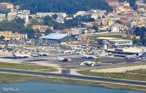
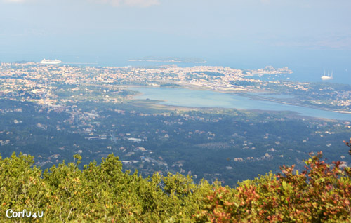 A little south of the island’s center, 13km from Corfu Town, you’ll find Corfu’s second-highest mountain, with its peak reaching 576m. Agioi Deka mountain is named after the village built on its slopes. At the top, you’ll find a radar that resembles a large ball. From there, you can enjoy a full view of Corfu Town and watch planes landing and taking off at the airport.
Upon reaching the village of Agioi Deka, a narrow road leads up to the top through the green mountain. Driving to the top can be challenging, as the road is made of concrete and not paved with asphalt. While it is possible to drive all the way up, if you are not confident in maneuvering your vehicle, it’s best to park 400 meters before the top, in an open area where the road splits. From there, you can walk the rest of the way.
 To the right, you’ll find the radar, surrounded by wire fencing. Photos are not allowed. The radar opens to the public once a year during the “Radar Open Day”. However, there is a spot with great views of Corfu Town and the eastern side of the island. Click here to view the location on Google Maps.
If you drive all the way up, be aware that turning around can be hard if your car is not small and easy to handle.
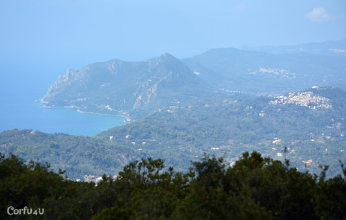
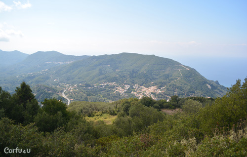
 On the left side, you can visit an old church that overlooks the western side of the island. Next to the church, there are benches where you can sit. Click here to view the location on Google Maps.
For those who enjoy hiking, there is also a marked trail that leads to the top.