Mount Pantokrator
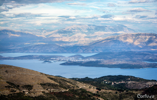
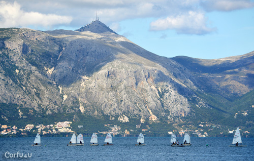 Pantokrator is the highest mountain in Corfu, reaching 906m. It is located in the northern part of the island, approximately 33km from Corfu Town, and offers panoramic views of the island and the surrounding areas. The mountain is named after the Pantokrator Monastery, which sits at its peak and dates back to the 14th century.
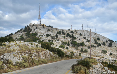
The top of Pantokrator is a popular destination for hiking and trips. Although the monastery is small, it is a landmark of the area. There is a café in the courtyard. At the top, there is also a telecommunications station to improve coverage for the island. The road to the top goes through traditional villages like Strinylas, and along the way, there are beautiful spots to rest and take photos. Click here to view the location on Google Maps.
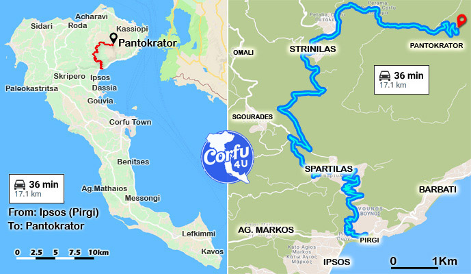 There are two main ways to reach the top of Pantokrator. If you are coming from the south, you can head towards Ipsos, continue north, and turn left towards Spartilas. Drive through the village and continue to Strinylas. After passing through Strinylas, turn right and follow the route leading to the mountain peak.
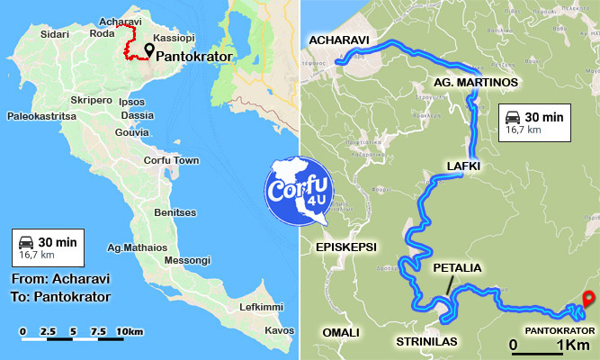 If you are in the north, you can go to Acharavi and from there take the road towards Pantokrator Mountain, passing through the villages of Agios Martinos, Lafki, and Petalia. After Petalia, make sure to turn left to continue towards the top.
Try to follow one of the two routes mentioned above, as there are other, more challenging paths that include steep dirt roads.
In the last 800 meters, the road becomes a bit steeper and is paved with concrete, but don’t let this discourage you. At the top, there is space to park along the road. The route to the mountain is not difficult, but having some driving experience is definitely helpful.
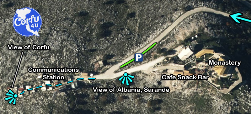
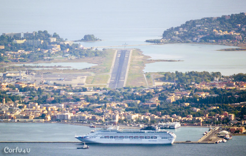
If you follow the path across from the monastery, between the antennas, you will have a view of Corfu Town.